|
|
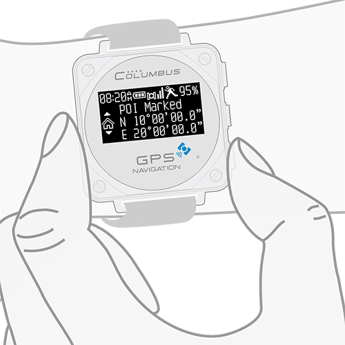
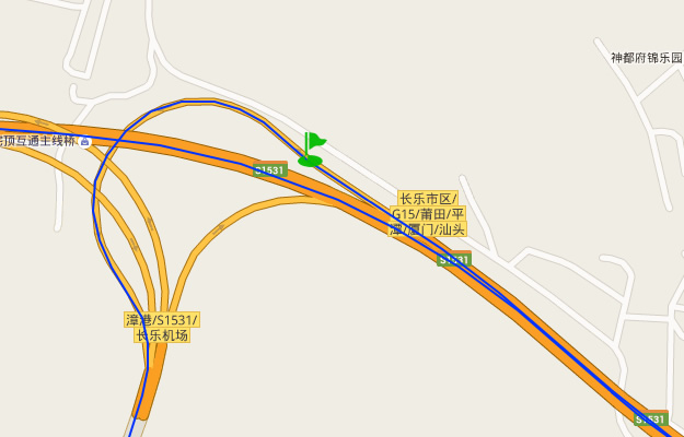
 POI navigation Full-time All-weather Never get lost! The sense of security will be lost
when one is within an unfamiliar environment. We will be
badly in need of our location and the route back to our
destination, when we are in a "no man's land" in the
wild and there are no Mobile phone signal or electronic maps. |
|
|
|
|
||
|
How to use "POI Navigation"?
Step1:
Save the current location " |
Step2: Go! |
Step3: The screen displays how to return back. |

|
|
|
Six logging modes, different scenarios, more professional
For different scenarios, it requires specific track logging modes to
meet different work demands. V-1000 is equipped with six types of track
logging modes: "Walking", "Running", "Cycling", "By car", "By plane" and
"User defined". |
|
 |

|
|
|
|
|
|
||
|
USB direct reading design Compatible with Windows, Mac OS & Linux. |
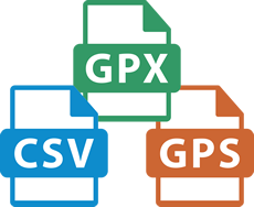
Easy management The tracking files are named with date and time, which is clear and distinct, it’s easy to carry out statistics and management. |
Interchange of Formats of original tracking files: CSV, GPX and GPS, which support (CSV) check and compile the original tracks. |

|
|
 Unique design for runners with "one-button" initiating running tracks Under any working status, V-1000 only requires a long-press on the button to initiate the logging of running tracks. Real-time checking during running: current pace, accumulative time, distance and consumption of calories. You can plan and manage your route of running on the map to make the running more efficient and funny. |
|
|
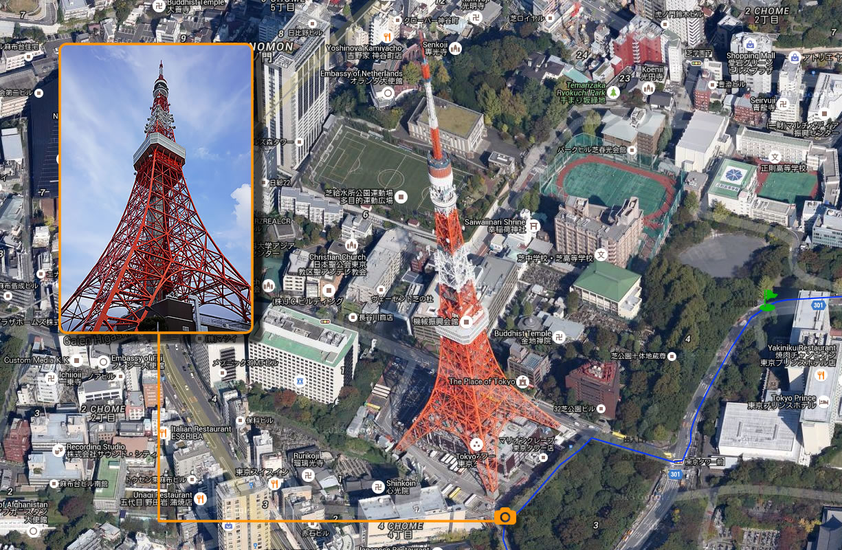
Photo + GPS, more fun! To carry with V-1000 during outdoor shooting, you can integrate the photos and the tracks (Geotagging) and replay the wonderful and colorful photos of journey on the map. It is suitable for all brands and models of digital cameras available in the market. In the meantime, it can add GPS coordinates into the EXIF information of the photos. |
|
|
 |
 |
|
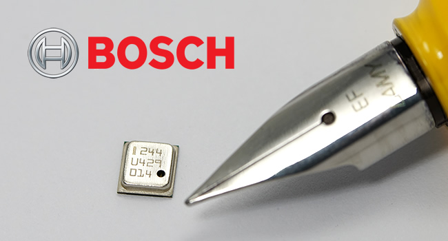
Most advanced components, more accuracy V-1000 is equipped with BOSCH barometric sensor with the highest performance in the industry, to compensate for the disadvantages of inaccurate measurement of altitude with GPS in civil use level. Whether under sensor working mode or GPS working mode, V-1000 is able to measure and record the altitude accurately (requires to carry out height calibration in advance). |
|
|
|
Edge tool for application in multiple industries
V-1000 is an edged tool for acquisition of GPS data, which
can be widely applied in agriculture, forestry and
transportation industry, etc.: GPS time-service, surveying ,
mapping and measuring, location of acquisition-point,
monitoring of transportation status, traffic survey, study
of driving habits, ecological system of species, sociology
and consuming behaviors. |
 |
|
|

All-weather astronomical and
weather information for travel plan It can forecast accurate time of sunrise/sunset and moonrise/moonset, and can provide 24-hour trend of barometric pressure and temperature to help you plan your travel. In case the curve of barometric pressure keeps up trending within 8 hours, it indicates that the barometric pressure is gradually rising and the weather is getting better, vice versa. The trend of barometric pressure can also predict the fishing status: barometric pressure change has a great influence on fishing status, and a rapid rise in barometric pressure means a good fishing status and a goo harvest.。 |
|
|
|
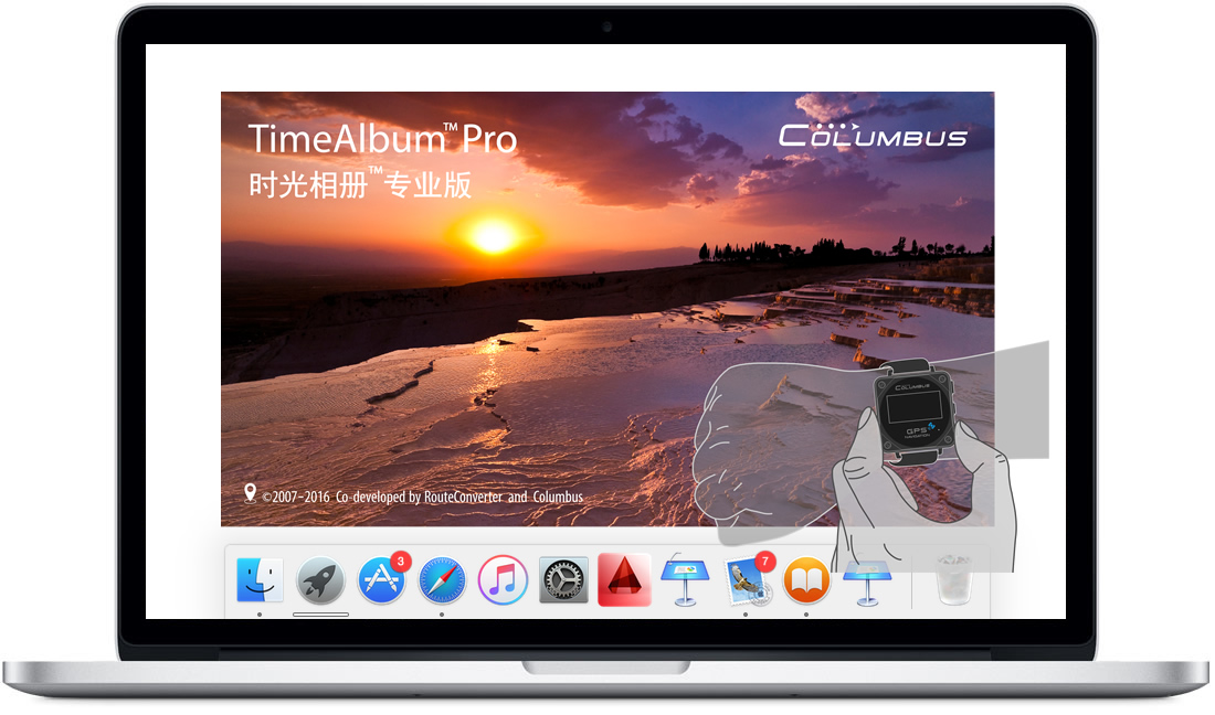
Brand new upgraded "Time Album Pro"
Cross-platform management
software |
|
|
|
|
|
Industry-leading comprehensive positioning performance Since 2005, Columbus has been focusing on improving the comprehensive positioning performance of GPS. MTK3339 GPS chipset with high-performance integrated with EPS (Enhanced Position System), has enabled V-1000 to reach the most ideal task performance after dozens of testing and adjustment of both software and hardware. |
|
Hot Start 1 s |
Warm Start 32s |
Cold Start 35s |